


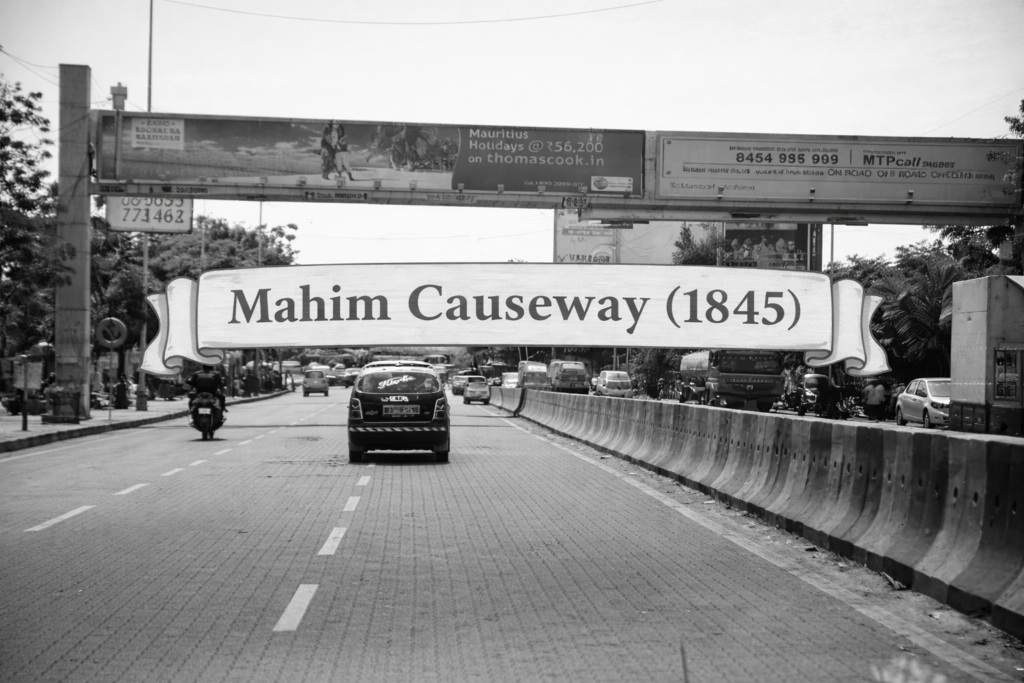
Mahim Causeway was the strategic link that enabled Bombay’s northward sxpansion. The completion of the Mahim Causeway in 8th April 1845 marked a decisive moment in the physical consolidation of Bombay (now Mumbai). At a time when the city still functioned as a cluster of islands separated by creeks and tidal inlets, the causeway established a permanent land connection between Mahim on Bombay Island and Bandra on Salsette Island, fundamentally altering patterns of movement, trade, and settlement.
Historical Context and Necessity
Prior to the construction of the causeway, connectivity between Mahim and Bandra depended entirely on ferry services across Mahim Creek. These crossings were unreliable and often dangerous, particularly during the monsoon months when tidal currents intensified. Contemporary accounts refer to multiple fatalities, which brought increasing public attention to the need for a safer, all-weather route.
Bombay in the early 19th century was already witnessing gradual land reclamation and infrastructural development, but such projects were selective and often constrained by financial priorities of the colonial administration. The Mahim–Bandra stretch remained a significant gap in an otherwise evolving network of roads and causeways.
Philanthropic Intervention and Construction
What distinguishes the Mahim Causeway from many other infrastructure works of the period is its non-governmental funding. The project was financed almost entirely by Lady Avabai Jamsetjee Jeejeebhoy, a noted philanthropist of Bombay. The British administration, citing fiscal constraints, declined to undertake the project.
Lady Jeejeebhoy contributed a sum estimated between ₹1.5 lakh and ₹1.7 lakh, a substantial amount for the time, enabling the construction to proceed. The causeway was completed and opened to the public on 8 April 1845, reportedly inaugurated by the then Governor of Bombay, Sir George Arthur.
Engineering Characteristics
The Mahim Causeway was constructed across low-lying marshland and tidal flats, which posed considerable engineering challenges. The structure consisted of:
- A raised embankment roadway, designed to remain above high-tide levels
- Stone pitching and retaining walls to withstand tidal erosion
- Openings or arches to allow tidal water flow, preventing stagnation and structural damage
Though modest in scale by modern standards, it represented a significant engineering effort in a coastal environment with limited technological resources.
Impact on Bombay’s Spatial Development
The operationalisation of the causeway had immediate and long-term implications:
- It eliminated dependence on ferry crossings, ensuring safer and faster movement
- It established a direct overland route to Salsette Island, facilitating access to Bandra and areas further north
- It contributed to the northward expansion of habitation and trade, which later defined the suburban growth of Bombay
In effect, the causeway functioned as a precursor to later transport developments, including the introduction of the railway network in 1853. It also complemented earlier causeways such as the Sion Causeway (1805), collectively aiding the gradual integration of the region.
Place in Bombay’s Infrastructure Timeline
The Mahim Causeway belongs to a transitional phase in Bombay’s history—between early reclamation works and the onset of railway-driven expansion. Its completion demonstrated that strategic connectivity projects could significantly influence urban morphology, even before industrial-scale infrastructure became common.
Continuing Relevance
Despite the development of alternative routes and modern infrastructure such as the Bandra–Worli Sea Link, the Mahim Causeway continues to function as an important arterial connection within Mumbai’s road network. Its enduring utility reflects both the foresight behind its construction and the persistent geographical constraints of the region.
Also read:
How Mumbai Was Formed from Seven Islands
Mahim Causeway and Lady Avabai