


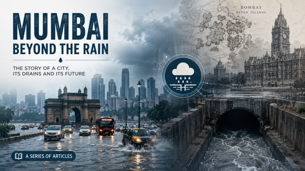
Mumbai’s drainage system is one of the oldest urban storm-water networks in Asia. Conceived during the British era, it was designed for a small island city with open spaces, limited paved surfaces and a population of less than one million. Over the next 160 years, Mumbai expanded into one of the world’s most densely populated megacities, while much of its drainage infrastructure remained based on nineteenth-century engineering principles. The result has been a continuous struggle between rapid urbanisation and an ageing drainage network.
Table of Contents
- The British Foundation (1860–1900)
- Expansion During the Early 20th Century (1900–1947)
- Post-Independence Urban Growth (1947–1985)
- First Comprehensive Review (1985–1993)
- The Turning Point: 26 July 2005
- BRIMSTOWAD Implementation (2005–2015)
- Climate Change and New Challenges (2015–2020)
- Modernisation Phase (2020–2026)
- Why Does Mumbai Still Flood?
- The Road Ahead
The British Foundation (1860–1900)
The modern drainage system of Bombay (now Mumbai) began taking shape in the 1860s after repeated flooding and sanitation concerns. British engineers developed an underground storm-water drainage network to quickly carry rainwater from roads into nearby creeks, rivers and ultimately the Arabian Sea.
The system relied entirely on gravity. Rainwater travelled through underground drains and open channels before being discharged through sea outfalls during low tide. At the time, the design was considered advanced and adequate for the city’s size.
Key features included:
- Underground masonry storm-water drains.
- Open nullahs connecting natural streams.
- Direct discharge into the sea through outfalls.
- Drainage capacity of about 25 mm of rainfall per hour, suitable for the Bombay of that era.
Expansion During the Early 20th Century (1900–1947)
As Bombay grew into India’s leading port and commercial centre, new drains were added across expanding suburbs. However, these were extensions rather than a complete redesign of the city’s drainage system.
Large marshes, mangroves and floodplains naturally absorbed excess rainwater. Rivers such as the Mithi, Dahisar, Oshiwara and Poisar remained relatively unobstructed, allowing storm runoff to reach the sea efficiently.
Despite occasional flooding during exceptionally heavy monsoons, the drainage network generally met the city’s requirements.
Post-Independence Urban Growth (1947–1985)
Following Independence, Mumbai experienced rapid industrialisation and population growth. The city’s built-up area expanded dramatically, replacing wetlands, salt pans, ponds and agricultural land with roads, housing colonies and commercial complexes.
Several factors gradually reduced drainage efficiency:
- Encroachment on natural drains and floodplains.
- Narrowing of rivers and nullahs.
- Rapid concretisation leading to faster surface runoff.
- Solid waste choking drains.
- Mixing of sewage with storm-water drains.
- High tides restricting gravity discharge into the sea.
Although flooding incidents became more frequent, the drainage system itself underwent only incremental improvements.
First Comprehensive Review (1985–1993)
Heavy flooding in 1985 exposed serious deficiencies in Mumbai’s drainage infrastructure. The Brihanmumbai Municipal Corporation (BMC) commissioned an extensive scientific study to assess the city’s storm-water drainage network.
In 1989, international consultants Watson Hawksley International were appointed to evaluate 121 drainage catchments covering underground drains, culverts and natural waterways.
The resulting BRIMSTOWAD (Brihanmumbai Storm Water Drainage Project) report was submitted in 1993.
Major recommendations included:
- Increasing drainage capacity from 25 mm/hr to 50 mm/hr.
- Widening and deepening major drains.
- Constructing pumping stations.
- Replacing undersized culverts.
- Improving sea outfalls.
- Protecting natural drainage channels.
Although technically sound, much of the project remained delayed due to funding and administrative constraints.
The Turning Point: 26 July 2005
Everything changed on 26 July 2005, when Mumbai recorded an unprecedented 944 mm of rainfall within 24 hours, the highest ever measured in the city’s history.
The disaster brought the city to a complete standstill.
- Roads, railways and airports were paralysed.
- Hundreds of lives were lost.
- Large residential and commercial areas remained flooded for days.
- Economic losses ran into thousands of crores.
The floods exposed the limitations of a drainage system still largely based on nineteenth-century design standards and became the catalyst for major reforms.
BRIMSTOWAD Implementation (2005–2015)
Following the 2005 disaster, the BRIMSTOWAD project gained momentum with significant investments from the Central and State Governments.
Major works included:
- Construction of pumping stations.
- Widening and deepening of major nullahs.
- Replacement of old culverts.
- Installation of flap gates at sea outfalls.
- Rehabilitation of underground drains.
- Improved desilting operations.
Important pumping stations were developed at locations such as Haji Ali, Love Grove, Cleveland Bunder, Irla, Britannia, Gazdarbandh and Mogra to discharge storm water during high tide.
Climate Change and New Challenges (2015–2020)
During the last decade, Mumbai has witnessed more frequent episodes of extremely heavy rainfall. Several monsoon events have produced over 200–300 mm of rain within a day, causing severe waterlogging despite improvements to the drainage system.
Scientists increasingly associate these changes with:
- Climate change.
- Warmer Arabian Sea temperatures.
- Higher atmospheric moisture.
- More intense short-duration rainfall events.
The challenge has gradually shifted from simply improving drainage to building long-term urban flood resilience.
Modernisation Phase (2020–2026)
BMC has expanded flood management beyond conventional drainage engineering by introducing technology-driven solutions.
Key initiatives include:
- Additional pumping stations.
- Large underground water storage tanks.
- Automatic rainfall monitoring.
- Real-time flood monitoring.
- Flood warning systems.
- CCTV surveillance at flood-prone locations.
- Integration of tide forecasting.
- Continued widening and rehabilitation of major drains.
Several traditional flooding hotspots have shown noticeable improvement, although exceptionally heavy rainfall combined with high tide continues to create temporary flooding.
Why Does Mumbai Still Flood?
Despite major investments, flooding continues because the problem extends beyond drainage infrastructure.
The major reasons include:
- Rainfall intensity often exceeds the drainage system’s design capacity.
- High tide restricts gravity discharge into the Arabian Sea.
- Rapid urbanisation increases surface runoff.
- Loss of wetlands, mangroves and natural floodplains.
- Encroachments on rivers and drainage channels.
- Solid waste blocking drains.
- Sea-level rise and climate change.
Mumbai’s reclaimed low-lying geography makes it especially vulnerable when intense rainfall coincides with high tide.
The Road Ahead
Mumbai’s drainage strategy is evolving from simply removing rainwater quickly to managing floods more intelligently and sustainably.
Future priorities include:
- Designing drains for higher rainfall intensities.
- Restoring rivers, wetlands and mangroves.
- Creating underground storage reservoirs.
- Expanding pumping infrastructure.
- Integrating climate projections into urban planning.
- Strengthening flood forecasting and early warning systems.
The history of Mumbai’s drainage system reflects the transformation of Bombay from a small colonial port into a global megacity. While Victorian engineering served the city remarkably well for decades, the demands of a changing climate and rapid urbanisation now require modern infrastructure, nature-based solutions and resilient urban planning.
Read other article Understanding the City’s Drainage System

